You are using an out of date browser. It may not display this or other websites correctly.
You should upgrade or use an alternative browser.
You should upgrade or use an alternative browser.
Ontario GTA photo tag
- Thread starter WudzRydr
- Start date
slogan
Well-known member
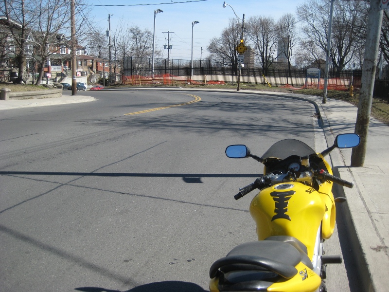
Here is the next one:la:


Ask for clues, if needed


Ask for clues, if needed
That's not only for RIDING - that's the game!!!:binky:i would go and grab it now if i had any idea where it was. the idea of photo tag is an excuse to go out riding not see if you can stump everyone.
Last edited:
zoom-in on the election front yard signs ... it'll tell you which federal constituency this nice 40 km/h-limit street is in.share those clues
slogan
Well-known member
thanks for the hints. hope no one beats me to it
Rush up! I guess you got competitors
Tornique
Well-known member
Rush up! I guess you got competitors
Damnit! I know that wonderful S! Its so beautiful and tight, wonderful from the top down but equally wonderful from the bottom up.... mmmm I'm gonna totally snatch this one up after work.


