kurtrules
Well-known member
I wanted to go for a ride down south to the Smokey mountains, for many months now. There were a few roads that I wanted to check out down south, especially the Cherohala Skyway & the Blue Ridge Parkway. I'd like to narrate my experience:
This past week, I took Friday and Monday off, and left home on Thursday, 26th Sept, after lunch and headed straight to Bridgeport, WV for the night.
That evening, as I relaxed in my motel room, I was browsing through the Blue Ridge Parkway website when a warning caught my eye: the North Carolina section of the Parkway was closed. Hurricane Helene was wreaking havoc across the southeast, and the Carolinas were next in line. It had already slammed into Florida, and the storm was pushing its way north, aiming right at Asheville—my planned stop for Saturday night.
I did not know then just how deadly Helene would become, with over two hundred lives lost, half of those in North Carolina alone, the very area I was supposed to ride through. As I lay there in bed, staring at the storm warnings, I knew I could not risk it. Flood warnings, fallen trees, and dangerous winds were all on the horizon. It was not worth it. I needed a new plan. Instead of venturing south, I rerouted. I would ride through Highway 250 from Elkins to Waynesboro, take the Skyline Drive through Shenandoah National Park, and head back home—all within three days, instead of the five I originally planned.
Friday morning, I left Bridgeport under a slight drizzle, nothing to worry about. I was Gore-Tex-covered head to toe and was ready for anything the weather could throw at me. But as I reached Elkins, the rain had become heavier. Still, I was not concerned. I had podcasts to keep me company—this time, an episode of Empire about the Bengal Famine.
Nothing to complain about, just another rain ride.
Or was it?
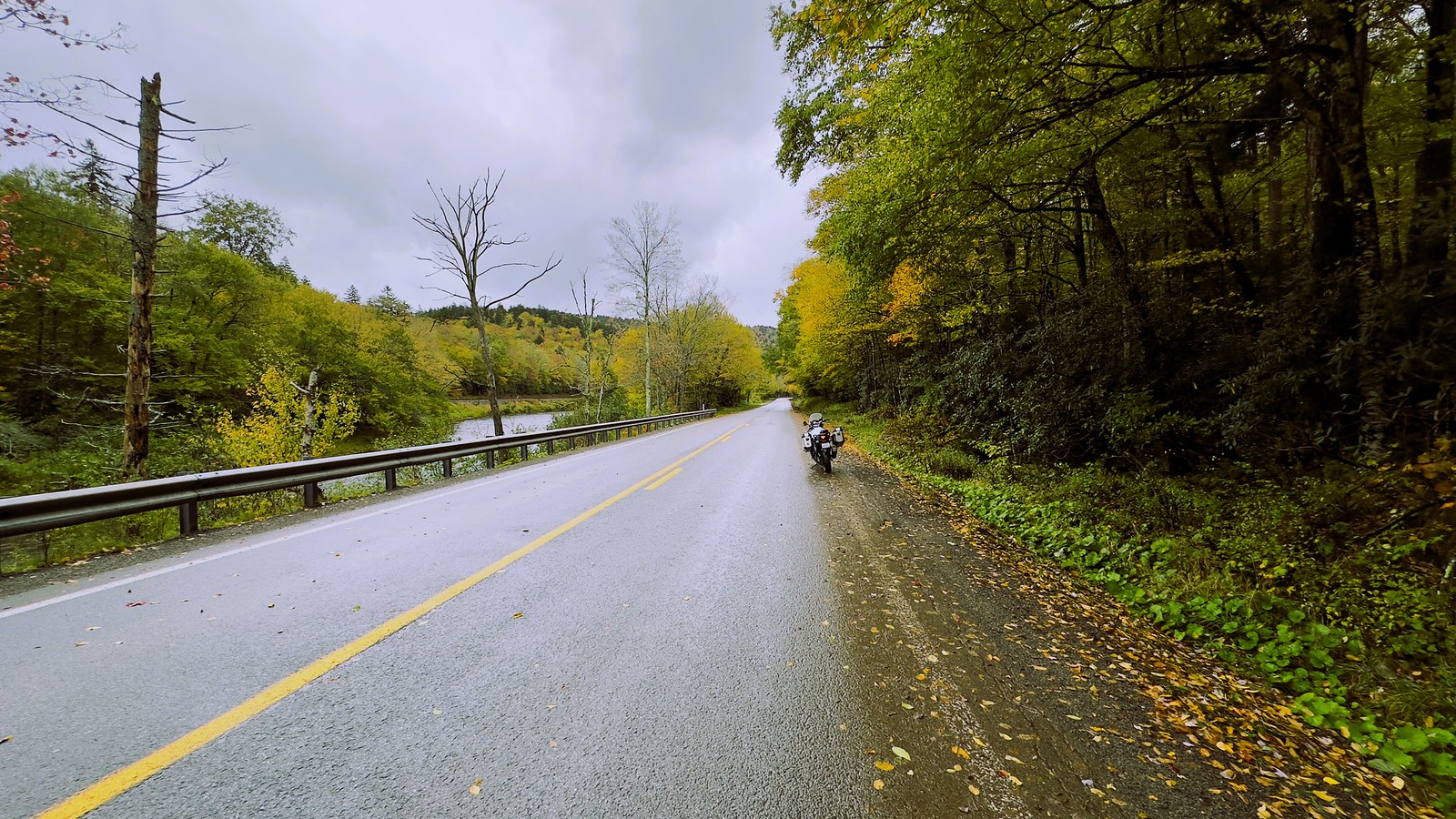
As I rode deeper into the Monongahela National Forest, the drizzle turned to something far more menacing. The wind began to howl through the trees, and the rain came down in sheets. Fallen leaves turned the road into a slippery obstacle course, and the gusts of wind were strong enough to make controlling the bike a struggle.
Then came the debris. At first, it was just leaves and twigs. But soon, I found myself dodging branches, and then entire trees. They were scattered across the road like some twisted game of chance. The further I went, the worse it got. Looking up, I could see trees swaying, their branches heavy with rain and poised to snap.
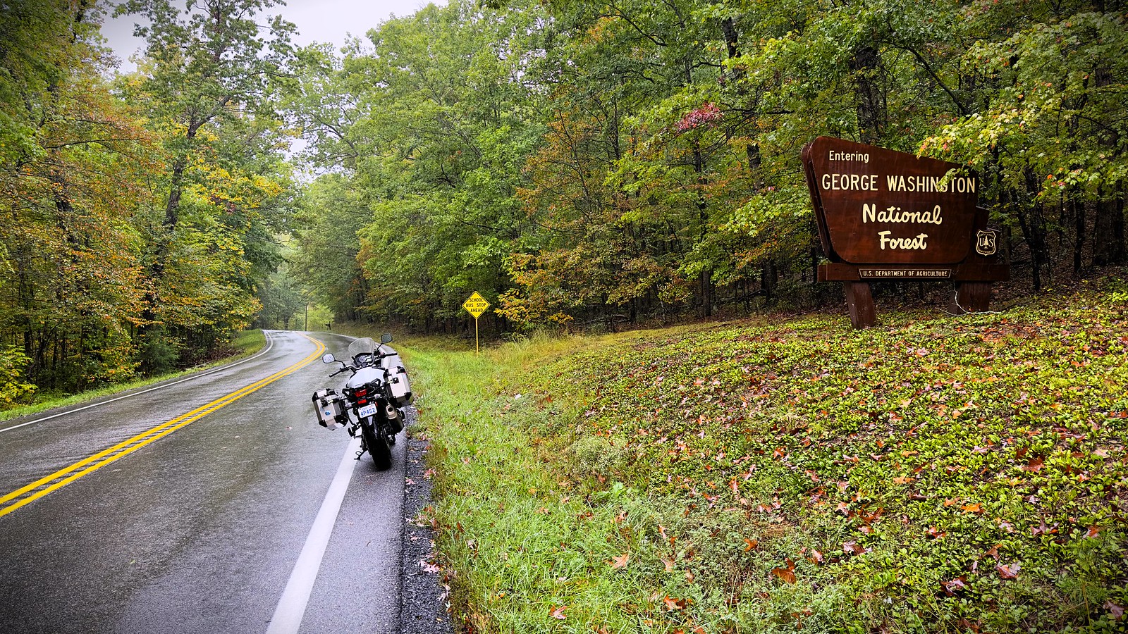
One forest gave way to another as I entered the George Washington & Jefferson National Forests, but with it came new challenges. Road closures, marked by flashing lights and emergency vehicles. The authorities were trying to clear the roads, but the damage severe. Every so often, I had to stop in the rain and wind for what felt like an eternity, waiting for crews to remove fallen trees blocking the way.
Then it happened.
I had just inched forward after another long wait when, without warning, a tree snapped and crashed down right in front of me, splitting in half as it hit the ground. Part of it was tangled in a power line, the other half dangling precariously, ready to fall. Emergency braking, on wet surfaces, with leaves acting as banana peals for the tires - this is not something I look forward to.
I managed to stop and navigate around it. Fear had begun to creep in. This was no longer fun. I can do rain, I can do wind, I can do rain and wind and bad roads all together. What I cannot do is control what falls from the sky.
Anyhow, I continued.
It was dark when I entered Staunton. Made my way under a bridge for respite from the heavy rain. There was no sign of the rain mellowing down, even the next day. So, I decided to head back home.
I rode on the I81 for another 100 odd kms and found a motel outside a town called Winchester. I dropped my gear, exhausted but exhilarated, replaying the last few hours in my mind. It was not the ride I had planned, but it was the kind of ride that reminds you why you love this life..
The next day began with a heavy fog. It reminded me of the winters back in northern India when the fog would stubbornly refuse to lift until well into the afternoon. But here, it was fleeting.
Within an hour, the fog gave way to rain. Again. It seemed like I could not escape it. The rain followed me until just before Springville on the 219, where the clouds finally began to break. And then, almost as if to reward my persistence, the sun made a triumphant return. The clouds parted, and suddenly, everything changed. The world felt brighter, the road smoother, the ride... easier.
I was home just before 4pm, to a sunny day, in Burlington!
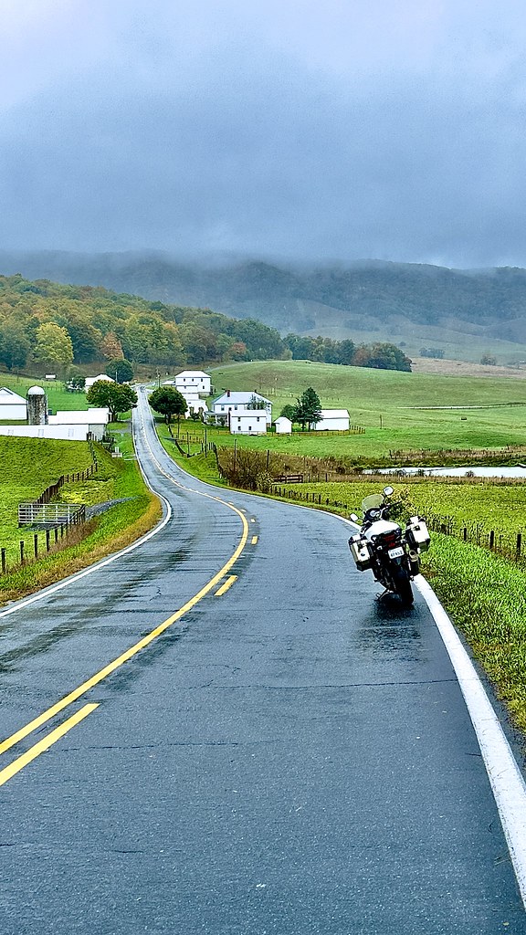
Posting some pictures I took, as and when I could. Not many, but here for you to enjoy, nonetheless.


