|
|
|
You are using an out of date browser. It may not display this or other websites correctly.
You should upgrade or use an alternative browser.
You should upgrade or use an alternative browser.
Ontario GTA photo tag
- Thread starter WudzRydr
- Start date
Re: Ontario GTA photo tag.......
Old:
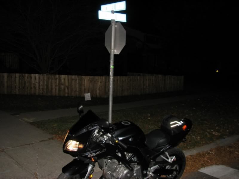
Michael Blvd @ Michael Blvd, Whitby
(map/details)
(link to tag photo)
New Tag:
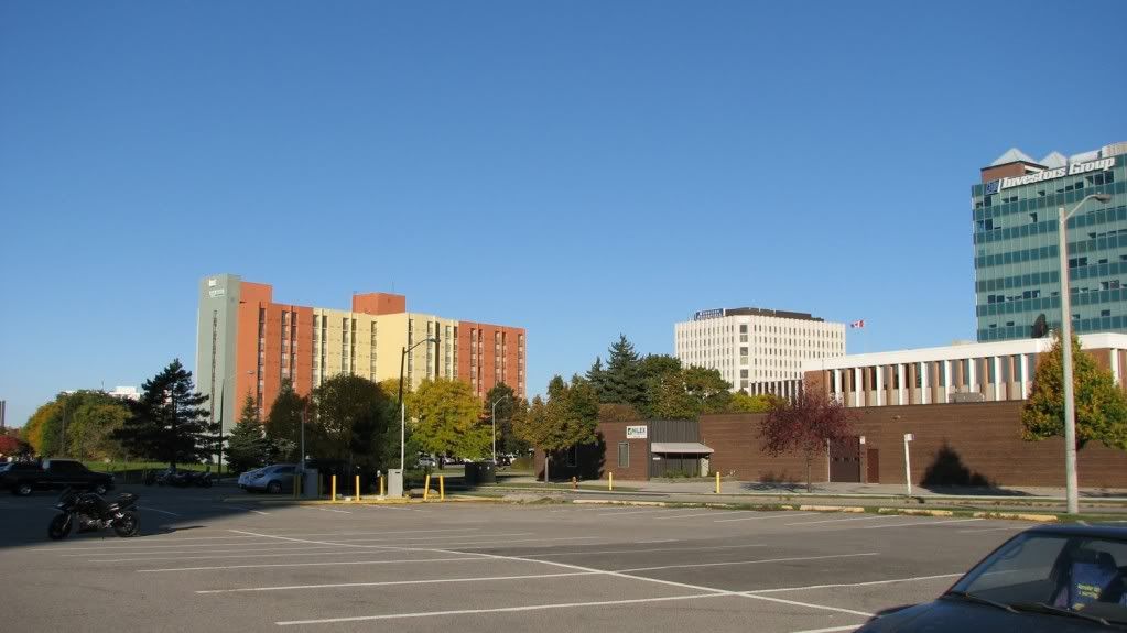
Hint: For nostalgia, I decided to take it back to where it all began for me years ago @ RTI riding school. If you look closely, you'll see Sunday's graduating class huddled at the left edge of the tag pic eagerly receiving instructions from the v. capable RTI teaching staff. :thumbup:
Old:
Michael Blvd @ Michael Blvd, Whitby
(map/details)
(link to tag photo)

New Tag:
Hint: For nostalgia, I decided to take it back to where it all began for me years ago @ RTI riding school. If you look closely, you'll see Sunday's graduating class huddled at the left edge of the tag pic eagerly receiving instructions from the v. capable RTI teaching staff. :thumbup:

Last edited:
Last edited:
Re: Ontario GTA photo tag.......
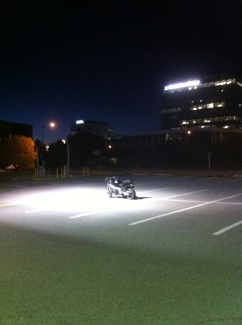
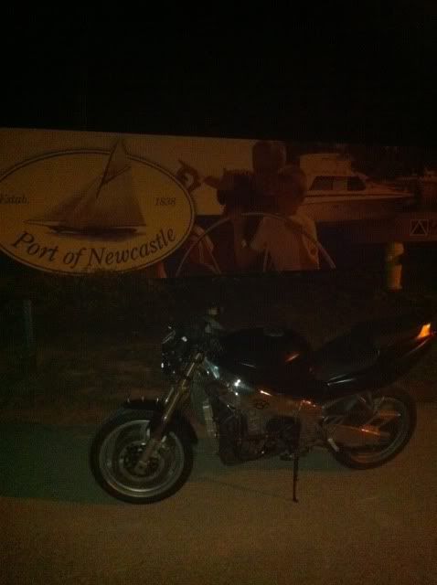
Quick vote; I went to Newcastle yesterday, kind of on a whim and did not remember exactly what sign was in the photo (there is a bunch there).
I thought it was right at the marina so I took the photos attached. (I now realize I actually passed the sign in Z1Ks photo 3 or 4 times while there).
The question is, do my photos count as a "tag"? If I get a yes decision or I do not hear from anyone I will post a new spot with 3 hours. (7pm)


Re: Ontario GTA photo tag.......
I'll let it slide just this once to keep the ball rolling.

Actually I don't care much. It's not like my pic was the greatest.
Quick vote; I went to Newcastle yesterday, kind of on a whim and did not remember exactly what sign was in the photo (there is a bunch there).
I thought it was right at the marina so I took the photos attached. (I now realize I actually passed the sign in Z1Ks photo 3 or 4 times while there).
The question is, do my photos count as a "tag"? If I get a yes decision or I do not hear from anyone I will post a new spot with 3 hours. (7pm)


I'll let it slide just this once to keep the ball rolling.
Actually I don't care much. It's not like my pic was the greatest.
Re: Ontario GTA photo tag.......
I'd be OK with ...
Step#1: 7up posts up GoogleMaps location of where the tag is located (or where he thinks it located).
Step#2: Z1K confirms accuracy of old tag location :thumbup:
Step#3: 7up posts up new tag location
Quick vote; I went to Newcastle yesterday, kind of on a whim and did not remember exactly what sign was in the photo (there is a bunch there).
I thought it was right at the marina so I took the photos attached. (I now realize I actually passed the sign in Z1Ks photo 3 or 4 times while there).
The question is, do my photos count as a "tag"? If I get a yes decision or I do not hear from anyone I will post a new spot with 3 hours. (7pm)


I'd be OK with ...
Step#1: 7up posts up GoogleMaps location of where the tag is located (or where he thinks it located).
Step#2: Z1K confirms accuracy of old tag location :thumbup:
Step#3: 7up posts up new tag location
Re: Ontario GTA photo tag.......
OK. I just realized I was accepted! (Did you hear that Mom? I was accepted!) by a vote of 2-1. I now know who my friends are. haha.
The photo I took that night was no good so I rushed out and got one from a location I stole from another thread. So hopefully this keeps the game rolling.
Step 1; http://maps.google.ca/maps?f=d&sour...7158,-78.579851&spn=0.00351,0.009624&t=h&z=17
A=Me in front of Sales Office 90 Shipway Ave.
B=Me in front of Visitors Parking sign
C=Z1Ks actual location.
*NOTE* it is a new subdivision so the building and sign were not there during the Google Sat. image capture.
Step 2; Port of Newcastle is a planned community by Kaitlin Group. I know exactly were the original photo was taken as I passed it several times. The boat in the sign is probably what got me thinking it was at the actual marina.
Step 3; New location.


Re: Ontario GTA photo tag.......
Just for a new twist...my route there. I would love some feed back if you see a road or 2 that I missed. It was V-4 who pointed out the Myrtle/Raglan road to me as I usually stayed 1 road north on Shirley. Concession 9 has caught my eye, have to do a surveillance run to find out if it is paved. All signs point to me doing this run along with the ride out to Port Hope and a Scenic loop south of Rice Lake this weekend. PM if you wish to join me.
http://maps.google.ca/maps/ms?hl=en...203544667139451441.00049273f906ad6309464&z=10
Re: Ontario GTA photo tag.......
I dunno. Sharon is pretty far..... Hmmmm.
Maybe you should print a pic next time. :lol:
I'd be OK with ...
Step#2: Z1K confirms accuracy of old tag location :thumbup:
I dunno. Sharon is pretty far..... Hmmmm.
Maybe you should print a pic next time. :lol:
Re: Ontario GTA photo tag.......
When going across con 10 past Raglan turn right on Enfield road. Then take a left on con 9. There are a few nice, tight turns between there and 57.
Just for a new twist...my route there. I would love some feed back if you see a road or 2 that I missed. It was V-4 who pointed out the Myrtle/Raglan road to me as I usually stayed 1 road north on Shirley. Concession 9 has caught my eye, have to do a surveillance run to find out if it is paved. All signs point to me doing this run along with the ride out to Port Hope and a Scenic loop south of Rice Lake this weekend. PM if you wish to join me.
http://maps.google.ca/maps/ms?hl=en...203544667139451441.00049273f906ad6309464&z=10
When going across con 10 past Raglan turn right on Enfield road. Then take a left on con 9. There are a few nice, tight turns between there and 57.
Re: Ontario GTA photo tag.......
It is not that Sharon. You could practically follow my route map in reverse to get there. PM if you go for it and I'll buy you a coffee up here for being so understanding.:thumbup:I dunno. Sharon is pretty far..... Hmmmm.
Awesome! That is the conc. 9 I was wondering about. Will add it to the map. ThanksWhen going across con 10 past Raglan turn right on Enfield road. Then take a left on con 9. There are a few nice, tight turns between there and 57.
Last edited:
Re: Ontario GTA photo tag.......
Old:
Sharon Gun Club
Kennedy Rd & Herald Rd, Mount Albert, ON
(map/details)
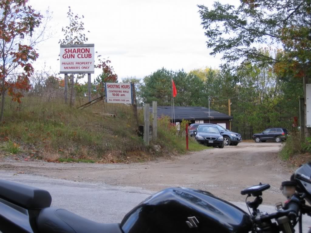
New:
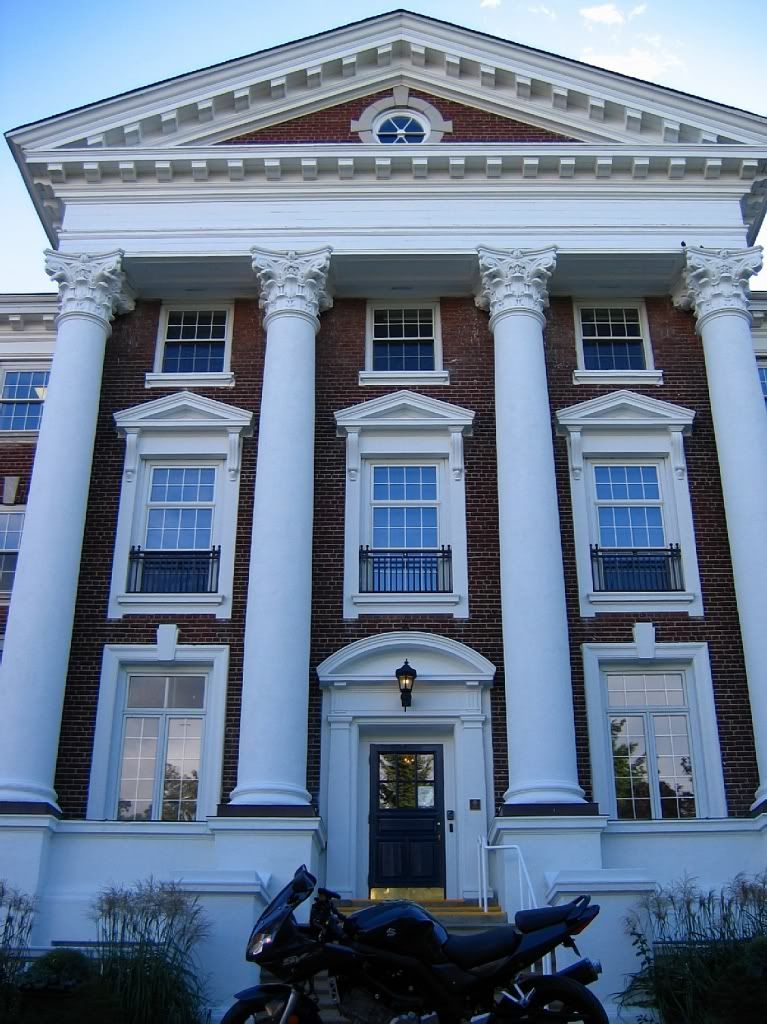
Hint:
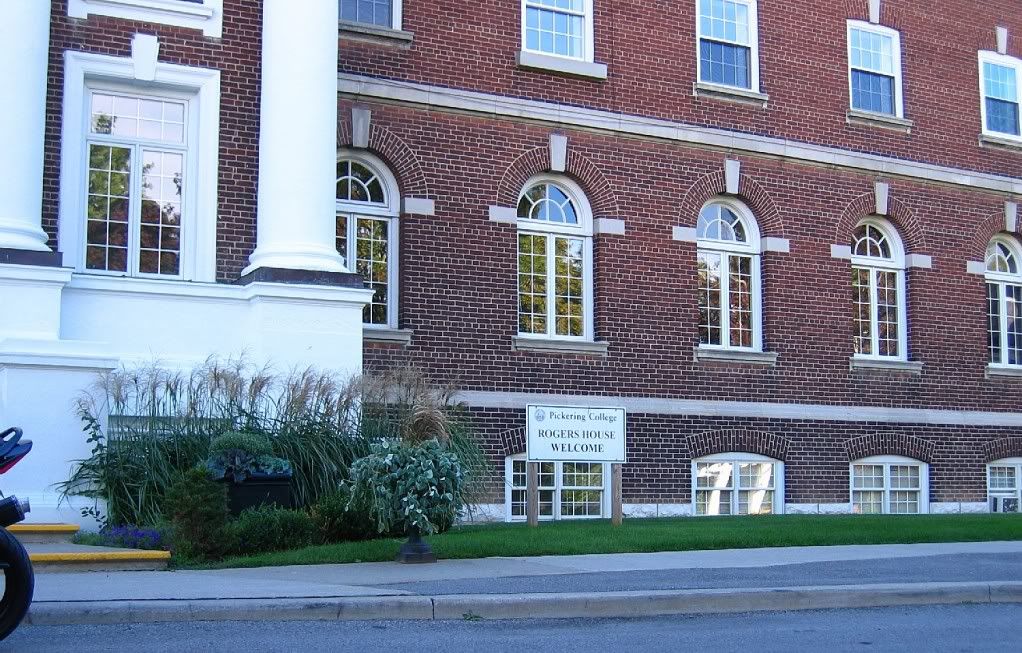
Old:
Sharon Gun Club
Kennedy Rd & Herald Rd, Mount Albert, ON
(map/details)

New:

Hint:

Last edited:
Re: Ontario GTA photo tag.......
Old;
My friend lives practically across the street.
Pickering College, Newmarket
http://maps.google.ca/maps?hl=en&ie...,-79.444757&spn=0.01314,0.038495&z=15&iwloc=A

Old;
My friend lives practically across the street.
Pickering College, Newmarket
http://maps.google.ca/maps?hl=en&ie...,-79.444757&spn=0.01314,0.038495&z=15&iwloc=A

Re: Ontario GTA photo tag.......
done!
I thought our east-end Durham friends would've gotten this already. ...
Old: P.S. Auto Parts, Lakeridge Road, Whitby, ON
(map/details)
Older:
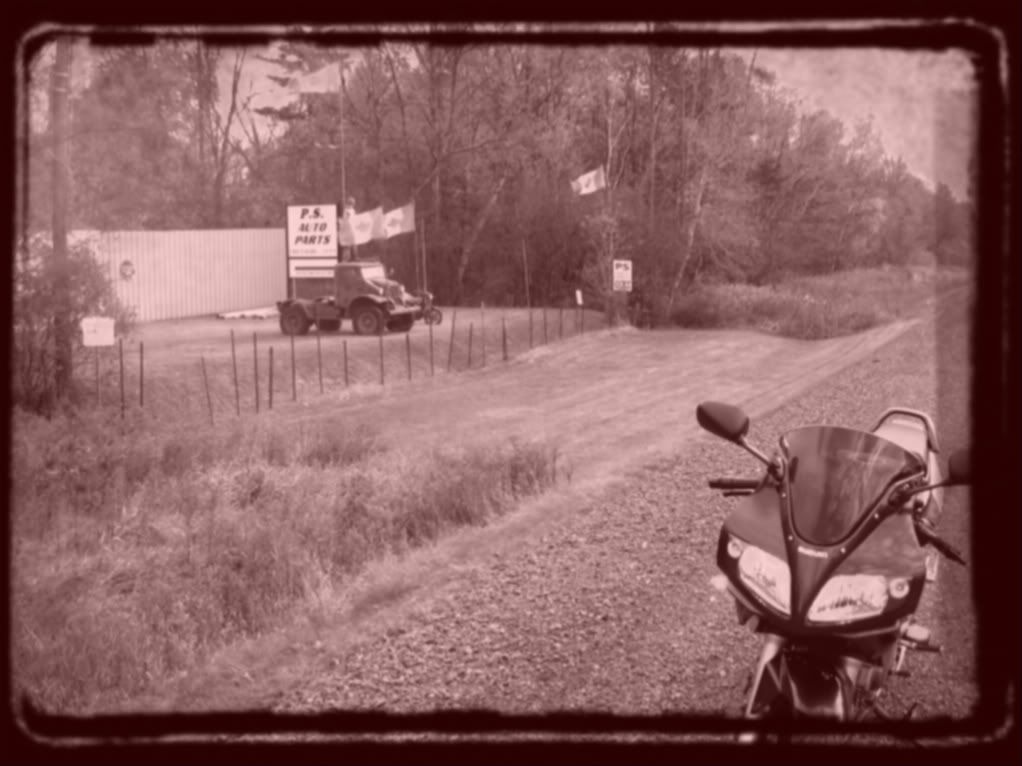
Tomorrow: 16 degrees, go and get this tag. It is on Lakeridge Road.
done!
I thought our east-end Durham friends would've gotten this already. ...
Old: P.S. Auto Parts, Lakeridge Road, Whitby, ON
(map/details)
Older:

Last edited:
|
|
|
|
|

